Tutorial
How to use SNAP? Click below to learn step-by-step process of downloading images from Sentinel-2 (as an example) and basic image processing created by Sean O’Kane.
SNAP TUTORIALVideo Tutorials
See below for a series of tutorials delivered via YouTube from Copernicus, RUS Copernicus, ESA and NASA.
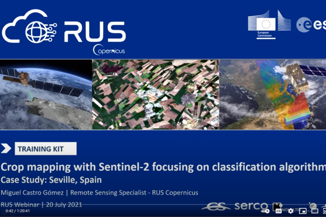
Crop mapping with Sentinel-2
RUS Webinar: Crop mapping with Sentinel-2 focusing on classification algorithms
SNAP – Calculate Normalized Difference Vegetation Index (NDVI)
SNAP tool tutorial for calculating Normalized Difference Vegetation Index (NDVI)
Crop monitoring using Sentiel-1
ESA led advanced course on cropping monitoring with dual-pol S1
Introducing TROPOMI(Sentinel-5P) – High Resolution NO2 Observations from Space
ARSET Webinar: NASA led advance training on introduction to TROPOMI, available data products for NO2, information about products detecting AI, CO, SO2, and HCHO, an overview of accessing TROPOMI data, and an exercise for downloading the data. >>
Python Tools for Analyzing NO2
NASA ARSET Webinar: This will primarily consist of going through an exercise on using updated python codes to work with TROPOMI data. This will include reading, mapping, extracting over a point location, gridding the data, and dumping the data to a CSV file. >>
Lectures
Access lectures below on various EO topics for your purpose.
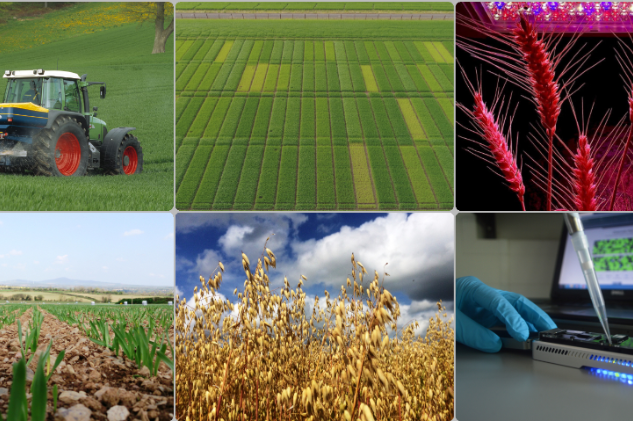
The Use of Earth Observation in
Agriculture
by Stuart Green
Monitoring & Modelling of Land Surface Processes
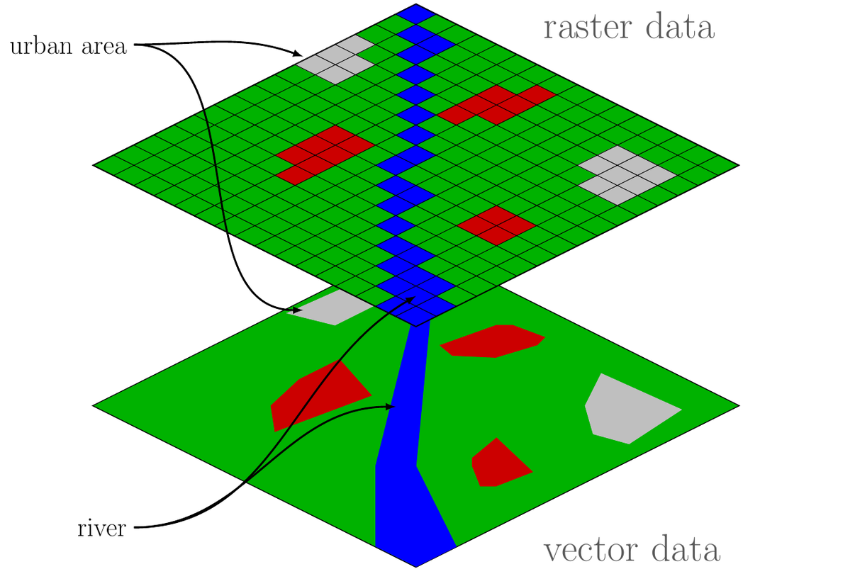
Basic GIS knowledge vector and raster data
by Marijan Grgic
University of Zagreb, Faculty of Geodesy
Case Studies
Access interesting case studies on Copernicus data published by EARSC and others.
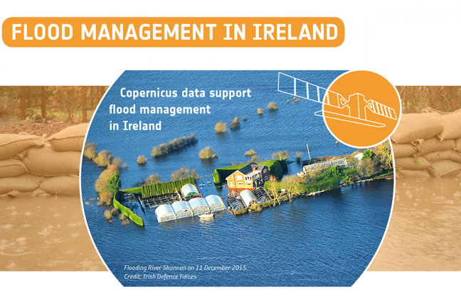
Flood Management in Ireland
A study of social, economical and environmental impact of floods in Ireland during the winter of 2015-2016 published in 2018 using Copernicus Emergency Management Service data.
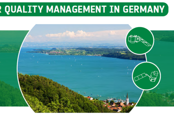
Water Quality Management in Germany
A study to detect the presence of Harmful Algal Bloom to determine the water quality of the lakes in Germany using Sentinel 2 and 3 data.
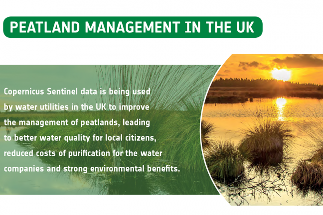
Peatland Management in the UK
A study conducted by the water utilities in the UK using Sentinel 1 data to improve
the management of peatlands, leading
to better water quality for local citizens,
reduced costs of purification for the water
companies and strong environmental benefits.
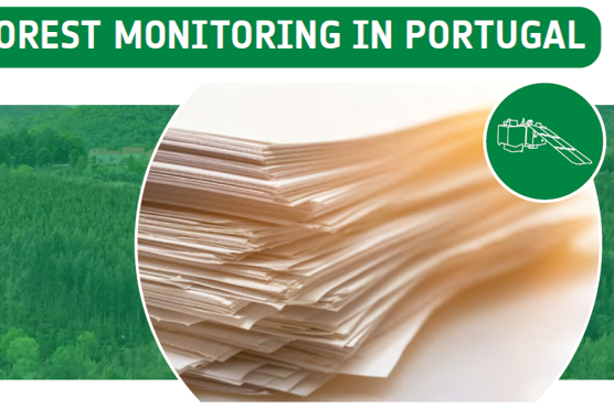
Forest Monitoring in Portugal
Copernicus Sentinel data and AI are being
used to provide continuous forest inventories
in Portugal, identify land use (changes) as well
as check upon the health status of trees in
support of forest managers and the pulp
& paper industry.
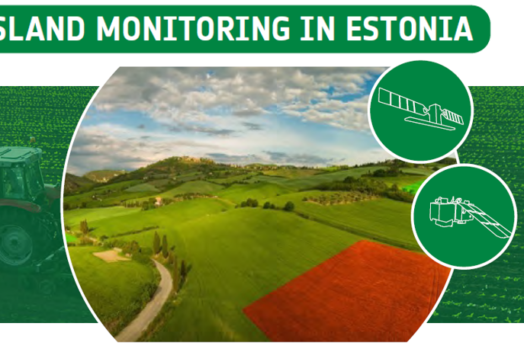
Grassland Monitoring in Estonia
In this case we study an innovative system, empowered by Sentinel data, which is used to ensure farmers in Estonia are abiding by CAP regulation and maintaining permanent grassland in the interest of biodiversity.
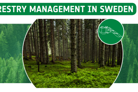
Forestry Management in Sweden
This case is all about the use of satellite imagery to monitor the Swedish forests for “clear-cuts”.