The GIMS Project – Paving the way for more detailed monitoring through EU Space synergies
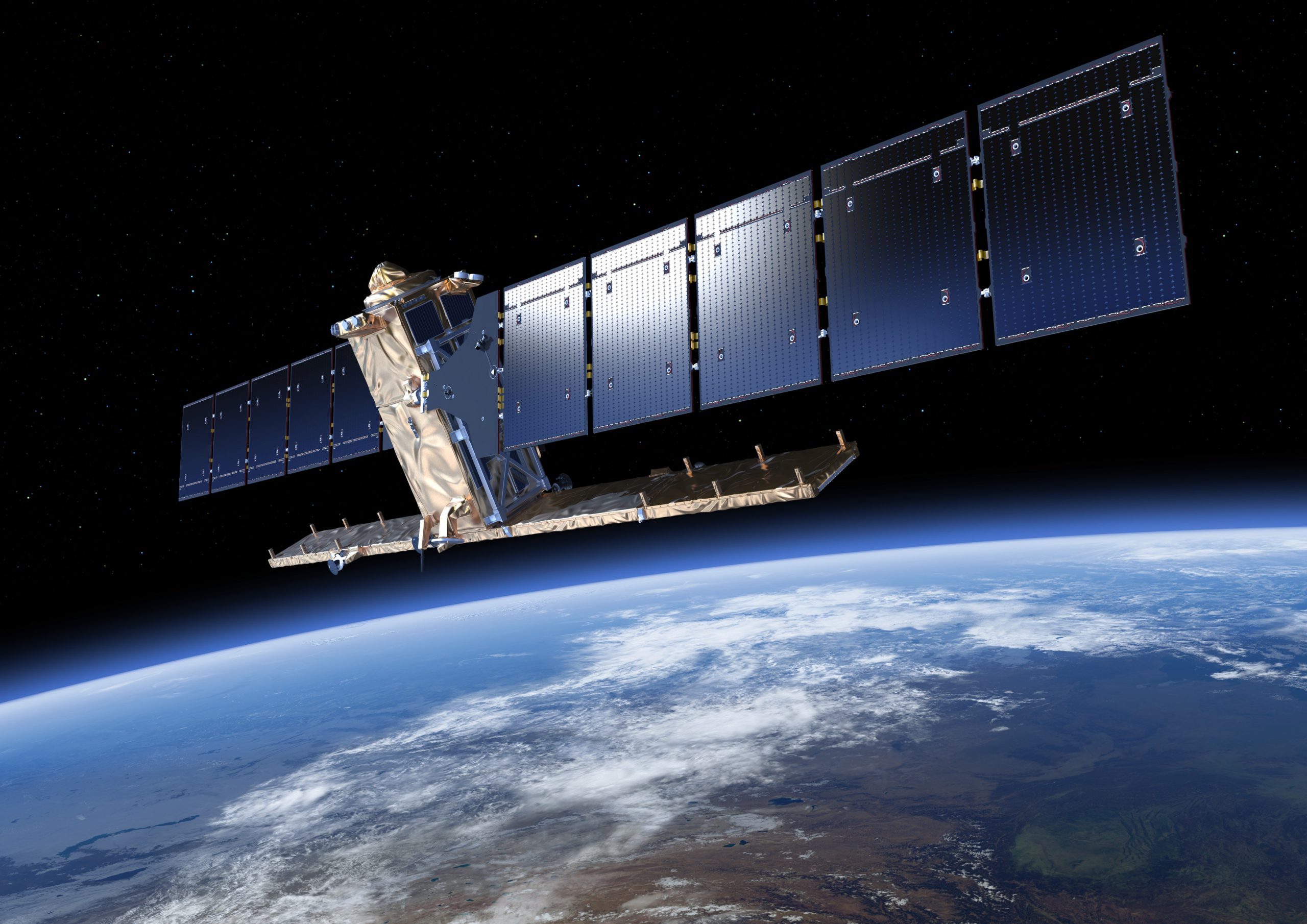
The GIMS (Geodetic Integrated Monitoring System) project combines the Galileo European global navigation satellite system (GNSS), the Copernicus synthetic aperture radar (SAR) and inertial measurement units (IMUs) to detect and monitor landslides.
EU Agency for the Space Programme – Linking space to user needsRead More